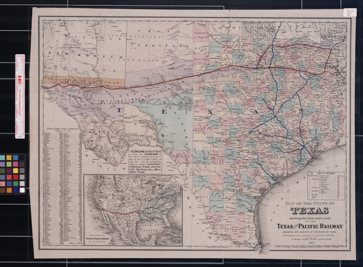
T&P Maps - Map of the State of Texas showing the line and lands of the Texas and Pacific Railway.
Texas & Pacific Railway.
Map of the State of Texas showing the line and lands of the Texas and Pacific Railway.,
map,
1873;
New York.
(https://texashistory.unt.edu/ark:/67531/metapth20807/:
accessed March 5, 2020),
University of North Texas Libraries, The Portal to Texas History, https://texashistory.unt.edu;
.
- Photo Credit UNT Libraries - The Portal to Texas History